|
|
| Site Summary | ||
|
||
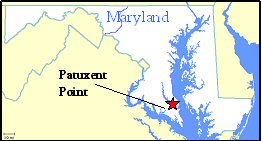
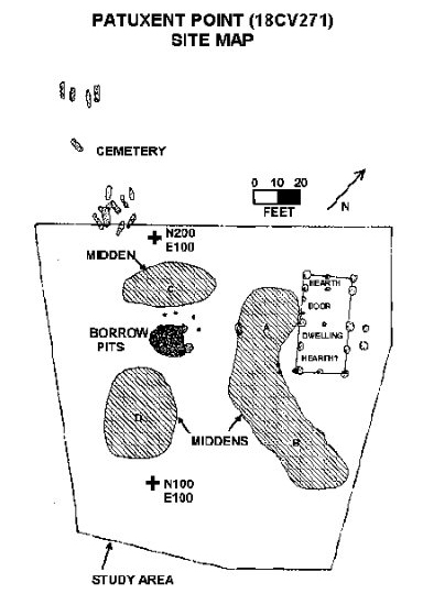
Patuxent Point is the domestic hub of a c. 1658-1690s plantation along the Patuxent River. The site represents the center of a plantation that was approximately 100 acres, and it is located only 800 feet from the Compton site. The plantation may have been founded by Captain John Obder, who presumably lived on the parcel from c. 1658-1663. Obder then moved to the Eastern Shore of Maryland. Though his occupation was short, artifacts indicate that the site was still inhabited after his departure, implying the presence of unidentified tenants into the 1690s. Archaeology Patuxent Point was identified during a 1986 archaeological survey. Phase II and III excavations followed in 1989 and 1990 to recover data before the site was destroyed by a residential development. Surface collection and plow zone sampling were conducted, followed by stripping of plow zone to expose features. Features included post hole patterns designating a 20’ by 40’ earthfast dwelling, borrow pits, and a cemetery. References http://www.chesapeakearchaeology.org/SiteSummaries/PatuxentPointSummary.cfm https://jefpat.maryland.gov/IntroWeb/PatuxentPoint.htm The Patuxent Point archaeological collection is owned by the Maryland Historical Trust and curated at the Maryland Archaeological Conservation Laboratory. |

|

|


 Site History